Search by a name: Hoher Weg 27
Filter record results by archival series
Documents and objects 5
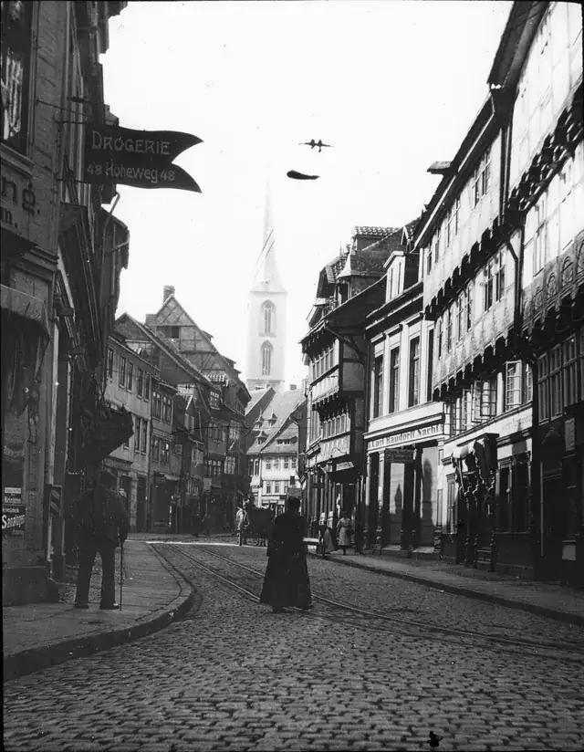 Document / objectHoher Weg with MartinikircheThis open-use street photograph predates the 1910–1913 Reichenbach rebuild and shows Hoher Weg as a dense retail street near Martinikirche. The visible sign reads Drogerie 48 Hoheweg, so it is contextual, not a view of Hoher Weg 27.
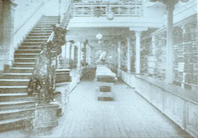 Document / objectInside the Kaufhaus Reichenbach sales floorThe sales floor joins the building plans to a working interior: staircase, counters, shelving and the upper gallery occupy one continuous space. The museum catalogue does not name the photographer, and the faded slide cannot tell us who was working in the room.
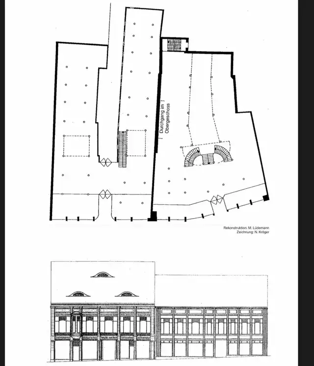 Document / objectReconstructed plan and elevations of Kaufhaus ReichenbachMonika Lüdemann’s 2004 study reconstructs the connected ground plan and 1913 street elevations of Hoher Weg 27 and Martiniplan 10, drawn by Nicola Kröger from the cited municipal building files. The plate lets us see how the two street fronts joined. Exact dimensions and linework still have to be checked against the original municipal drawings.
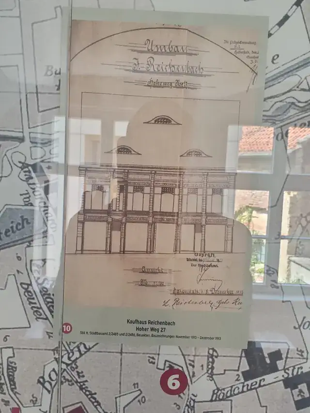 Document / objectThe Kaufhaus Reichenbach plan displayed in the museumA museum display identifies the drawing’s municipal building files and their November 1910 to December 1913 date range. The display connects the plan to municipal files dated from November 1910 to December 1913. The venue and date of this photograph remain unrecorded.
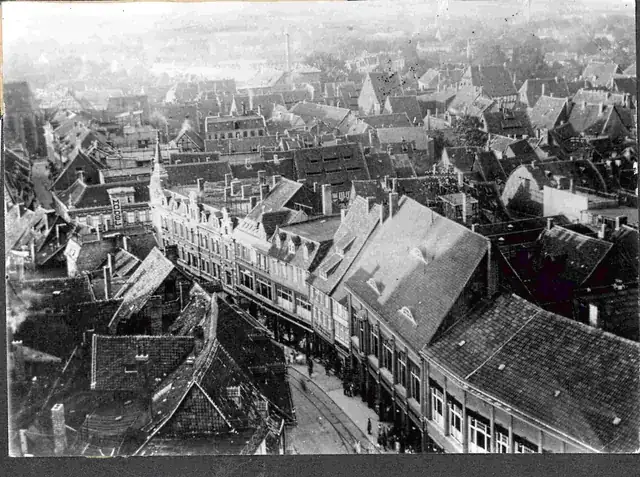 Document / objectHoher Weg 35–27 and Martiniplan 10The elevated city view places the long commercial block within Halberstadt’s dense roofs and adjoining streets.